Town section of bike trail to be costly
Published 11:45 am Wednesday, January 31, 2018
Cheapest route exceeds available funds by $1 million
By Ryan Kushner
Staff writer
The estimated cost to install a multi-use bike and pedestrian trail from Battery Park Road to the Cypress Creek bridge in Smithfield is over $1 million more than the town has available for the project.
An analysis commissioned by the Smithfield Town Council last year to study four possible trail routes and their feasibility found that the cheapest of the options would cost $2.4 million.
Faced with the high cost, the Town Council plans to look into installing a sidewalk along South Church Street instead of the originally planned 10-foot-wide multi-use path. {mprestriction ids=”1,2,3,4,5,6″}
The cheapest route, Alternative 4, extends north on the east side of South Church Street past the Smithfield Self Storage, and then goes down Ransdell Lane and continues left on John Rolfe Drive. The route then cuts through the Church Square subdivision to get back onto the east side of South Church Street, where it continues north toward the bridge. It crosses seven private driveways and nine commercial entrances, according to the study.
The town had been planning to utilize money from its urban fund — funds leftover from previous state transportation projects in the town — to pay for the proposed trail.
However, if a turn lane planned for the Joseph Luter Jr. sports complex costs as much as anticipated, the fund will be left with only $1.1 million for the trail project, according to Town Manager Peter Stephenson at a recent Town Council committee meeting.
“We don’t have enough to cover it,” Stephenson said.
Council member Milton Cook asked that the town check with the Virginia Department of Transportation to see if it could use the leftover state funds to install a sidewalk on South Church Street.
Cook said the street has long been neglected as far as beautification upgrades, and the sidewalk would still provide connectivity.
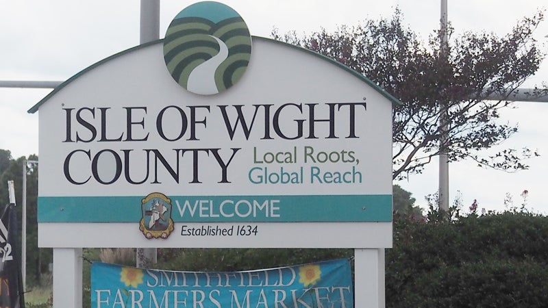
Isle of Wight County broke ground in November for its portion of the slated bike trail, which cost $8 million in state and county funding and will traverse from Nike Park Road up to the intersection of Battery Park Road and South Church Street. The original plan was for the path to connect Nike Park with Windsor Castle Park.
Council member Steve Bowman said he was concerned about funding the town’s portion of the trail project when there were still significant upcoming infrastructure needs noted by Director of Planning, Engineering and Public Works William Saunders in a prior meeting, including new sewer and water lines downtown.
Bowman said that he wasn’t against the trail, but that he personally hadn’t heard much enthusiasm from the public regarding the project.
“I’m not saying that it’s not there, I’m just saying I haven’t heard it,” Bowman said of resident support for the proposed bike and pedestrian path.
Stephenson said there are other competitive enhancement grants the town could potentially apply for to help pay for the project.
Cook, who has long expressed concern about the potential impact the relatively wide multi-use trail would have on businesses and storefronts, said that the sidewalk could also be less expensive than constructing a 10-foot path.
“That will be something that will benefit many more people than bikers,” Cook said of a sidewalk on South Church Street.
For the cheapest trail route, Saunders said that the developer of Church Square was willing to consider allowing an easement for the path to cut through the land, but it would need to be approved by the Homeowner’s Association as well.
“There’s no guarantee,” Saunders said of the trail cutting through Church Square.
The “Segment 3 Alternatives Analysis,” conducted by Kimley Horn, examined three other potential routes for the trail.
Alternative 1 runs along the east side of South Church and stretches north toward the Cypress Creek bridge. While it is the most direction route, it is also the second most expensive, the construction cost estimated at $3.3 million. According to the study, it runs across 10 private driveways and 20 commercial entrances, and could spur the need for 25 utility pole relocations.
Alternative 2 also goes along the east side of South Church Street, and like Alternative 4 ducks down Ransdell Lane after the Farmers Bank and continues north on John Rolfe Drive. Instead of cutting through the subdivision, Alternative 2 goes down Lumar Street to connect back onto South Church. The route would cross 27 private driveways and six commercial entrances, according to the study, with potentially four utility pole relocations. Estimated construction cost is $2.8 million.
Alternative 3 was noted as the most dangerous route examined, crossing South Church Street at the intersection with Battery Park and then running on the west side of South Church. The route then crosses back to the east side of traffic-heavy South Church Street at Talbot Drive just before a curve in the road and continues toward the bridge. The route was estimated at $3.5 million. {/mprestriction}